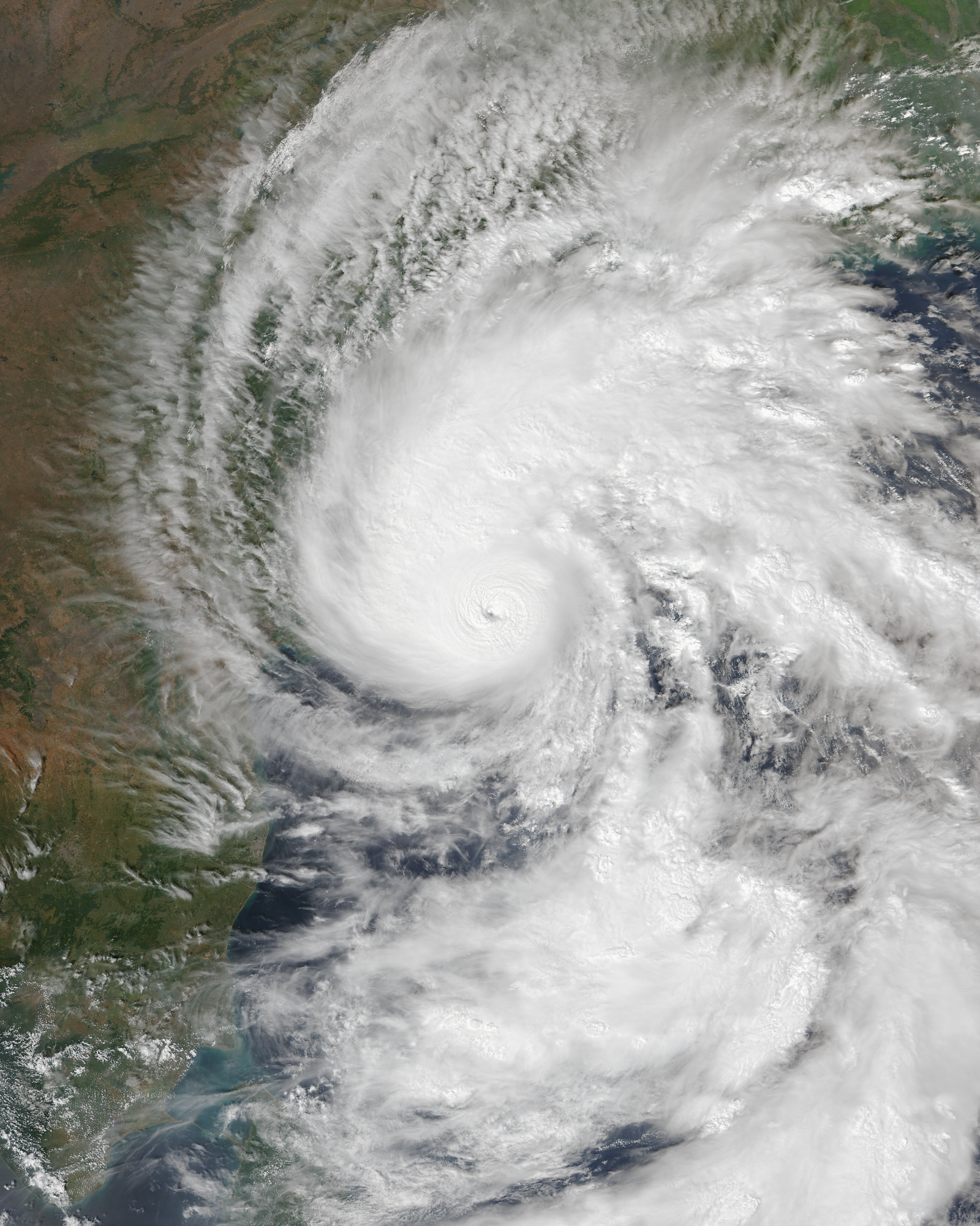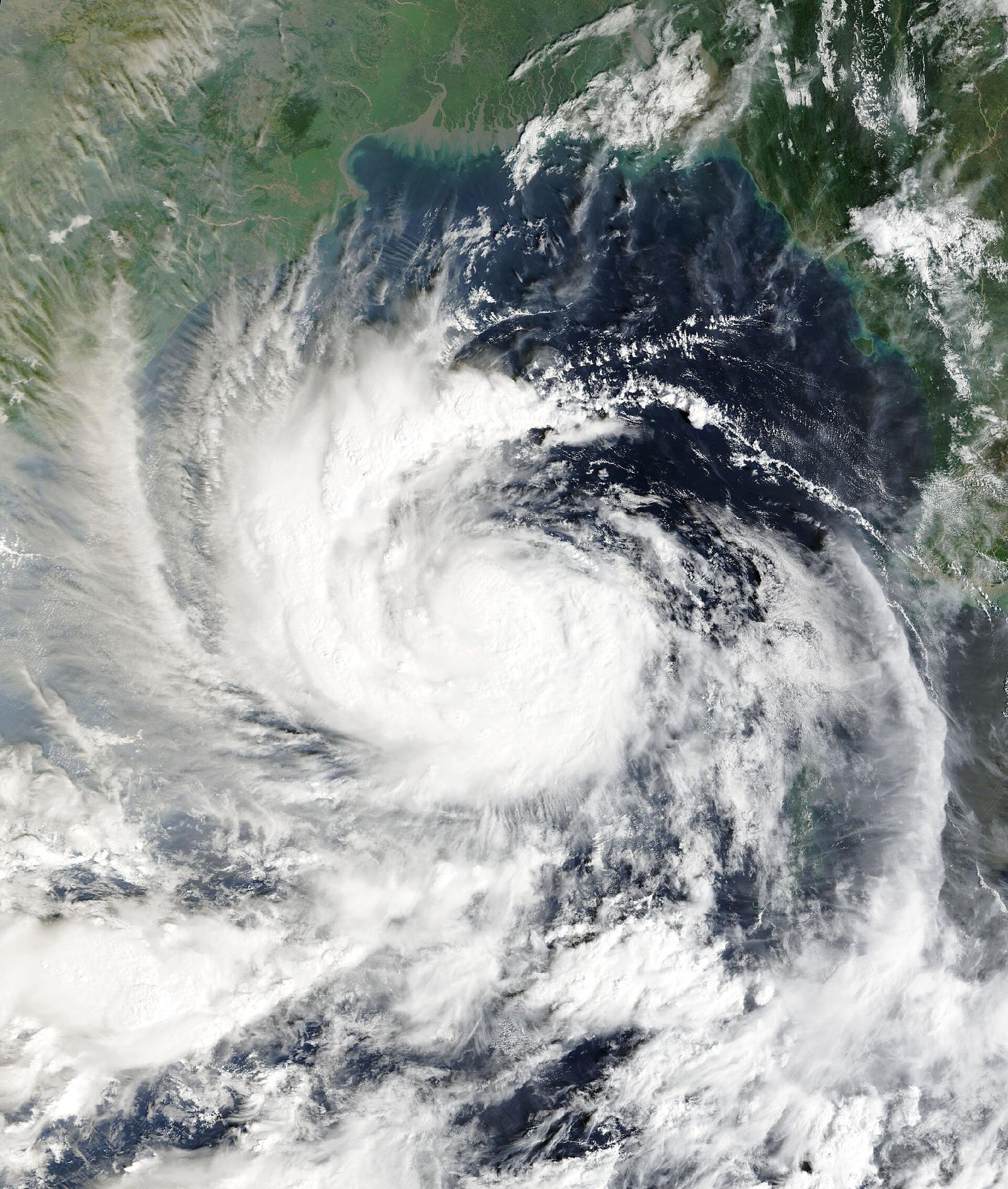
Photo: MODIS imagery from NASA's Terra satellite / Wikimedia Commons, public domain
Cyclone Arnab was closing in on the north Andhra Pradesh coast late on Tuesday night, with the India Meteorological Department (IMD) saying the storm had picked up speed and would now cross the coast between 2 am and 4 am on Wednesday, October 28, several hours earlier than the forenoon landfall it had forecast. The crossing is expected near the Yanam-Kakinada stretch, between Bapatla and Visakhapatnam.
At 5.30 pm on Tuesday, the IMD placed the very severe cyclonic storm about 90 km southeast of Kakinada and 170 km south of Visakhapatnam. It said Arnab was likely to make landfall as a severe cyclone with sustained winds of 115-125 km/h, gusting to 140 km/h, and warned of a storm surge of 1-2 metres above the astronomical tide that could flood low-lying coastal areas, with the highest surge expected near Kakinada and Yanam.
First death, uprooted trees in Visakhapatnam
Heavy rain had already battered the northern districts of Andhra Pradesh through Tuesday. A 65-year-old man died at Mangalapalem in Visakhapatnam after coming into contact with snapped live wires lying in water. More than 200 trees were uprooted within Visakhapatnam city, where municipal teams were told to work through the night to clear roads. Parts of Visakhapatnam rural recorded over 140 mm of rain between morning and 7 pm.
Chief Minister N. Chandrababu Naidu said 84,396 people had been moved to safer places and 290 cyclone shelters set up. More than 30,000 fishing boats have been brought ashore, and the state has kept 8,400 electricity staff ready, planning for up to 15,000 power poles being knocked down. In Yanam, the Puducherry enclave closest to the expected landfall point, officials said many residents were reluctant to move to relief camps, and NDRF personnel and police were deployed to persuade them.
Flights and trains cancelled
The Civil Aviation Ministry held a review meeting on Tuesday as operations were suspended at Visakhapatnam, and halted at Vijayawada and Rajahmundry after 7 pm. IndiGo suspended all its Visakhapatnam flights, Air India and Air India Express cancelled several services, and Vijayawada airport has cancelled all flights for Wednesday. The East Coast Railway said 22 express and passenger trains would be cancelled or regulated on different dates up to November 5, and South Central Railway warned of more cancellations in Telangana.
Odisha, Telangana and beyond on alert
In Odisha, the government has begun shifting about 48,000 people from vulnerable areas in eight southern districts, including Nabarangpur, Gajapati, Malkangiri, Ganjam and Koraput, according to Special Relief Commissioner Rajesh Patil. Several ghat roads have been shut over landslide fears, and around 3,000 women close to their delivery dates have been moved to hospitals. NDRF, ODRAF and fire service teams have been deployed across the state.
The IMD has issued a red alert for four Telangana districts, including Khammam and Bhadradri Kothagudem, for Wednesday. High waves also lashed north Chennai’s Ennore coast on Tuesday evening, and schools in Ranchi will stay shut on Wednesday and Thursday because of a rain alert.
What happens next
Officials expect the heaviest rain to shift overnight to Kakinada, East and West Godavari and Konaseema districts as the storm moves northwest towards Yanam. Authorities have asked people to stay indoors until the system has crossed the coast. Emergency helplines 1070, 112 and 18004250101 are open in Andhra Pradesh.